Miguel Román to Present 'NASA's Black Marble: Mapping Disaster Recovery Through Satellite Data'

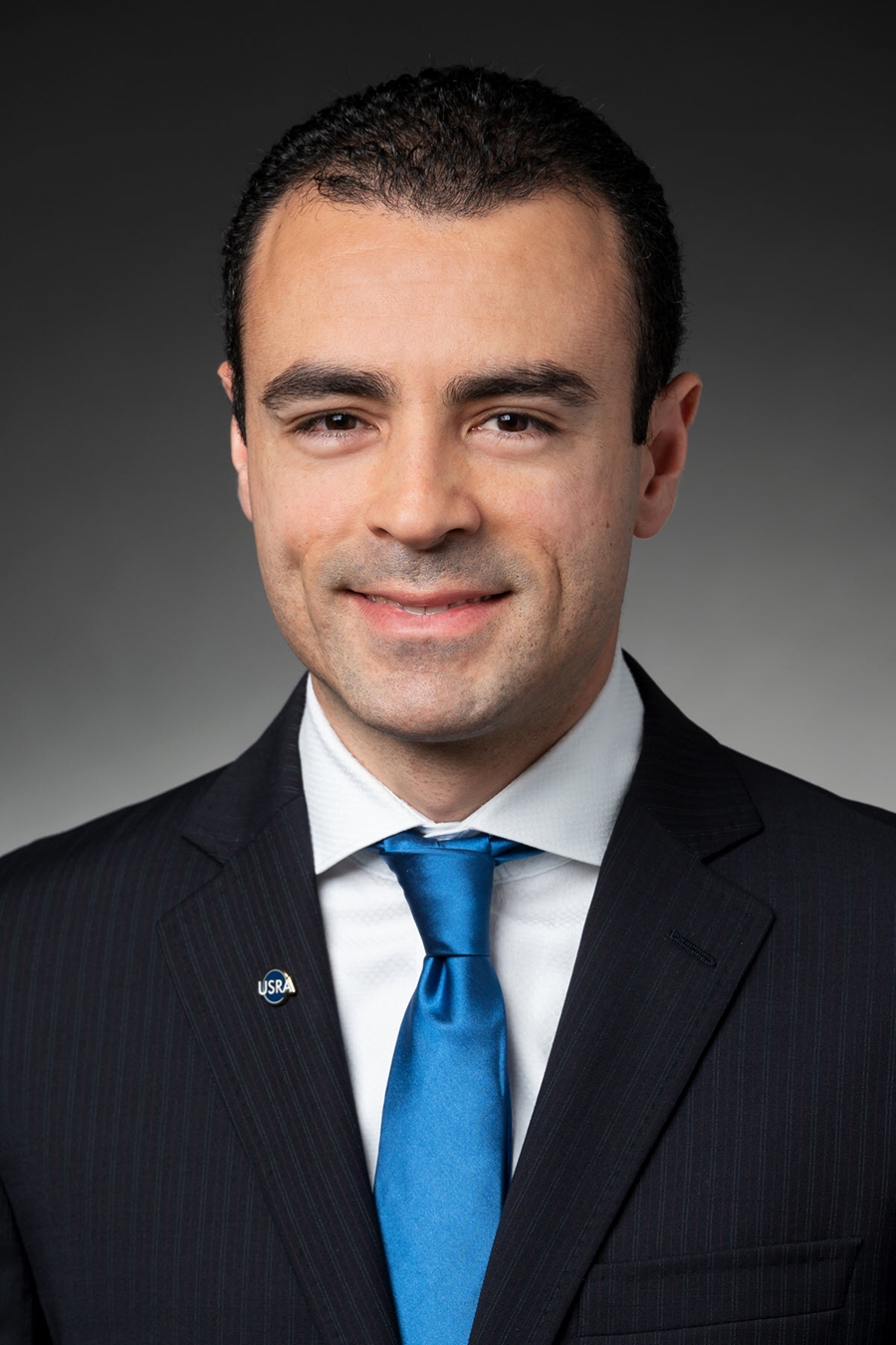
Miguel Román, program director of the Earth from Space Institute at the Universities Space Research Association.
Miguel Román, program director of the Earth from Space Institute at the Universities Space Research Association, will present the inaugural lecture in the Leica Geosystems Lecture Series at 3 p.m., Thursday, Oct. 21, in Arkansas Union 504 on the U of A campus.
Román is the founding director of the Earth from Space Institute, a program of Universities Space Research Association, dedicated to building the science that responds to urgent sustainable development challenges across climate, disasters and energy systems. Román leads a worldwide group of investigators and technical staff in charge of generating long-term climate data records from the Moderate Resolution Imaging Spectroradiometer and the Visible Infrared Imaging Radiometer Suite, two of the largest and most comprehensive satellite systems used to monitor our planet's vital signs.
He is best known for pioneering NASA's Black Marble product suite for Suomi-NPP and NOAA-20, enabling operational and innovative uses of the VIIRS Day/Night Band to understand global urban change, better plan for disaster relief, investigate conflict and understand humanity's impact on the planet. He also served on the White House National Science and Technology Council's Subcommittee on Disaster Risk Reduction and the U.S. Global Change Research Program.
Román's presentation, "NASA's Black Marble: Mapping Disaster Recovery Through Satellite Data," will focus on the technological advances that have allowed the U.S. to materialize breakthrough innovations in Earth observations. For decades, NASA has been collecting and analyzing large amounts of data from space to study the Earth as an integrated system. Thanks to their work, we can now incorporate satellite data to influence first responders' time-critical missions in a disaster context. After the island-wide power outage in Puerto Rico following Hurricane Maria in 2017 and the recent series of earthquakes in January 2020, NASA's Black Marble helped pinpoint where the outages were and how long they lasted. As the lead scientist behind the efforts, he steered Puerto Rico's recovery work by providing key data to government officials, the National Guard and FEMA. That data was later analyzed to study the relationship between electricity restoration rates and the structure and density of Puerto Rico's neighborhoods. In this talk, Román will share how space-based technologies can deliver timely, relevant information to track disaster recovery and provide new insights to address global challenges around climate, energy and environmental resilience.
Román serves as chair of NASA's Land-Atmosphere Near-Real Time Capability of EOS User Working Group. In this role, he represents the broad needs of NASA's application user communities and provides guidance concerning a full range of topics related to the LANCE data system, capabilities and services. He is also a senior member of the Institute of Electrical and Electronics Engineers and serves on the U.S. National Academies of Sciences, Engineering, and Medicine's Roundtable on Science and Technology for Sustainability.
In 2016, Román was recognized by President Barack Obama with the Presidential Early Career Award for Scientists and Engineers for delivering innovative, sustainable, earth science research and technology solutions for the general welfare of the United States and its global partners. Román is also a 2014 Service to America Medal "Sammies" finalist, one of the highest honors for federal civil servants. His writings have been featured in numerous news outlets, including NPR, The Washington Post, NBC, The Economist, Univision, Smithsonian Magazine and BBC World News.
About the Leica Geosystems Lecture Series: The Leica Geosystems Lecture Series is supported by the Leica Geosystems-endowed fund established in 2005. Their gift-in-kind created the Leica Geosystems Chair in Geospatial Imaging at CAST providing advanced photogrammetric and remote-sensing software, maintenance, support, and services to the Center. This endowment also serves to build an academic discipline in geospatial modeling and expand resources for analyzing, storing, and communicating geospatial research data.
Topics
Contacts
Hanna L. Ford, senior research assistant
Center for Advanced Spatial Technologies
479-575-7127,
hlford@uark.edu
Headlines
Four Students Named Goldwater Scholars; Two Earn Udall Honorable Mentions
Four U of A students have received the prestigious Goldwater Scholarship, an award for top students in mathematics, science, and engineering.
Cross-Campus Collaboration Culminates in New Outdoor Geological Installation
Grand opening event to celebrate the new GeoLab installation at the U of A’s Gearhart Hall courtyard is set for May 3. The installation will be open to the public year-round.
First Students to Use Online Degree to Hone Nursing Leadership, Elevate Patient Care
Hanna Baxendale and Wendi Kimbrell will begin coursework in the Doctor of Nursing Practice-Executive Master of Business Administration program offered by the Eleanor Mann School of Nursing and Walton College.
Join the Office for Sustainability on a Final Cruise to Campus
Cruise to Campus Wednesdays have fostered a gathering space for individuals interested in biking to campus. Drop by the Old Main Lawn from 7:30-10 a.m. Wednesday for coffee, something to eat and conversation.
Fay Jones School Student Ambassador Program Gives Voice to Design Students
The student ambassador program at the Fay Jones School of Architecture and Design is built to connect top design students with their school, its alumni, its future students and others inside and outside the school.


