Archeologists Return to Syria to Uncover Secrets of Ancient Settlements
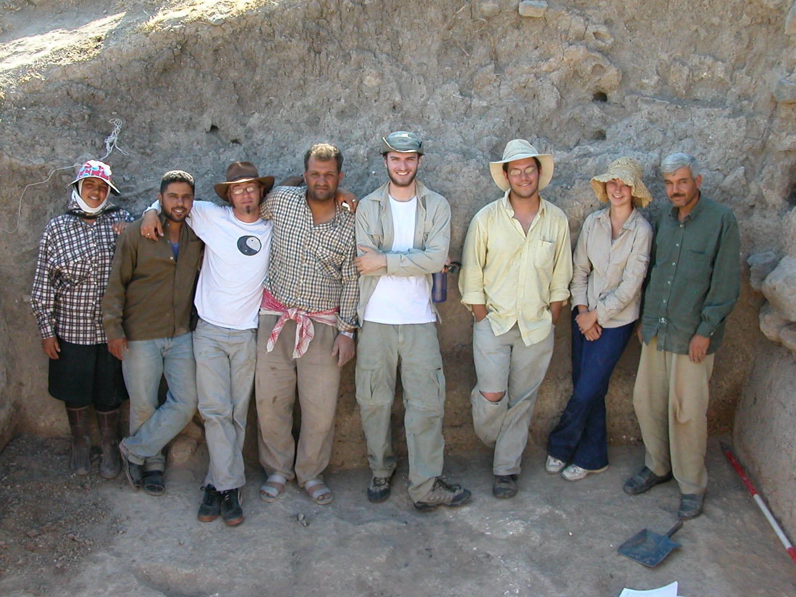
The 2005 Arkansas team with some of the local workers at Tell Qarqur. Jesse Casana is third from the right.
FAYETTEVILLE, Ark. — For a time in 2003, it looked like archeological exploration in the Middle East might come to a halt, leaving thousands of years of history buried. In the past year, University of Arkansas assistant professor Jesse Casana has successfully resumed excavation in a little-studied area in northwestern Syria, and is uncovering a rich record of human settlement.
What Casana and his team learn about the formation of Tell Qarqur could serve as a model for understanding the formation of “tells,” the ancient mounds that are common in the Orontes River Valley where Qarqur is located and throughout the Middle East. That knowledge could be an important link to understanding the organization of human settlements in the ancient world.
“The entire Orontes River Valley is extremely interesting and largely unexplored,” Casana said. “We’ve seen remains of very early sites that date to the threshold of agriculture for the entire world, ten- to twenty-thousand years ago.”
He calls the sites in the valley and bordering mountains phenomenal: “We’ve documented Neolithic sites, previously unknown Crusader period castles and everything in between.”
Archeology has come a long way from the freewheeling, Indiana Jones style of grabbing big shiny artifacts for museum collections. In the past decade, Casana notes, the profession has become more scientific. Today’s archeologists combine the detail work of the traditional organized dig with big-picture information available from satellite images to produce new answers, in Casana’s case, about some of the oldest continuously occupied settlements in the world.
 Qarqur from space: A November 1969 CORONA satellite image of Tell Qarqur, courtesy US Geological Survey. |
 A view of Tell Qarqur from the east (photo by Jesse Casana). |
“This project is one of the richest archeologically speaking because the area has the longest history of sedentary occupation anywhere in the world,” Casana said.
Casana’s research interests focus on the way that the settlement systems were organized during the Bronze and Iron Ages and later in the Hellenistic through late Roman periods. At Tell Qarqur, he is working with a location that was continuously occupied for about 10,000 years, from the Neolithic through the medieval period.
 Amanda Grinter using the total station to help develop digital map of Tell Qarqur. |
Tell Qarqur is an unusual formation of two tells, and the satellite imagery suggested other settlement in the area. From the satellite photos, it was possible to see an area much like a halo of disturbed ground around the tells. Digging in the halo area revealed a Neolithic settlement about 100 feet from the north tell.
 A three-dimensional view of Tell Qarqur created from topographic survey data collected during the 2005 expedition. |
In the coming summer, Casana plans to return to Qarqur with a team of outstanding graduate students and “a suite of technologies.” Working with anthropology professor Ken Kvamme and others from the UA Center for Advanced Spatial Technologies, he plans to adapt several ground-penetrating technologies to the needs of archeology. His goal is to learn as much as possible about what sits under the ground without beginning the expensive and destructive process of digging.
Contacts
Jesse Casana,
assistant professor, anthropology
J. William Fulbright College of Arts and Sciences
(479) 575-6374, jcasana@uark.edu
Barbara
Jaquish, science and research communications officer
(479) 575-2683, jaquish@uark.edu
Headlines

Four Students Named Goldwater Scholars; Two Earn Udall Honorable Mentions
Four U of A students have received the prestigious Goldwater Scholarship, an award for top students in mathematics, science, and engineering.

Cross-Campus Collaboration Culminates in New Outdoor Geological Installation
Grand opening event to celebrate the new GeoLab installation at the U of A’s Gearhart Hall courtyard is set for May 3. The installation will be open to the public year-round.

First Students to Use Online Degree to Hone Nursing Leadership, Elevate Patient Care
Hanna Baxendale and Wendi Kimbrell will begin coursework in the Doctor of Nursing Practice-Executive Master of Business Administration program offered by the Eleanor Mann School of Nursing and Walton College.

Join the Office for Sustainability on a Final Cruise to Campus
Cruise to Campus Wednesdays have fostered a gathering space for individuals interested in biking to campus. Drop by the Old Main Lawn from 7:30-10 a.m. Wednesday for coffee, something to eat and conversation.

Fay Jones School Student Ambassador Program Gives Voice to Design Students
The student ambassador program at the Fay Jones School of Architecture and Design is built to connect top design students with their school, its alumni, its future students and others inside and outside the school.